Texas Gov. Greg Abbott said state emergency teams are being readied as thunderstorms and flash flooding threaten parts of Texas from Sunday into early next week. Forecast coverage points to Southeast Texas, including Houston, where heavy rain and elevated flood risk could overlap with dangerous heat this weekend.
Texas Gov. Greg Abbott said the state is preparing to deploy emergency resources as storms and flooding threaten parts of Texas from Sunday into early next week.
Abbott said in a Thursday release that Texas is ready to respond to potential severe weather and flash flooding. He also directed the Texas Division of Emergency Management to activate state emergency response resources.
The weather threat comes as a cold front is expected to move across Texas and trigger rounds of thunderstorms. In Southeast Texas, Houston-area forecast coverage says a weak Gulf disturbance could add tropical moisture and make heavy rain more likely.
Forecast window
The current weather setup is expected to begin Sunday and continue into early next week. Forecast coverage says the heaviest rain may focus on Southeast Texas, where the flood risk is already elevated.
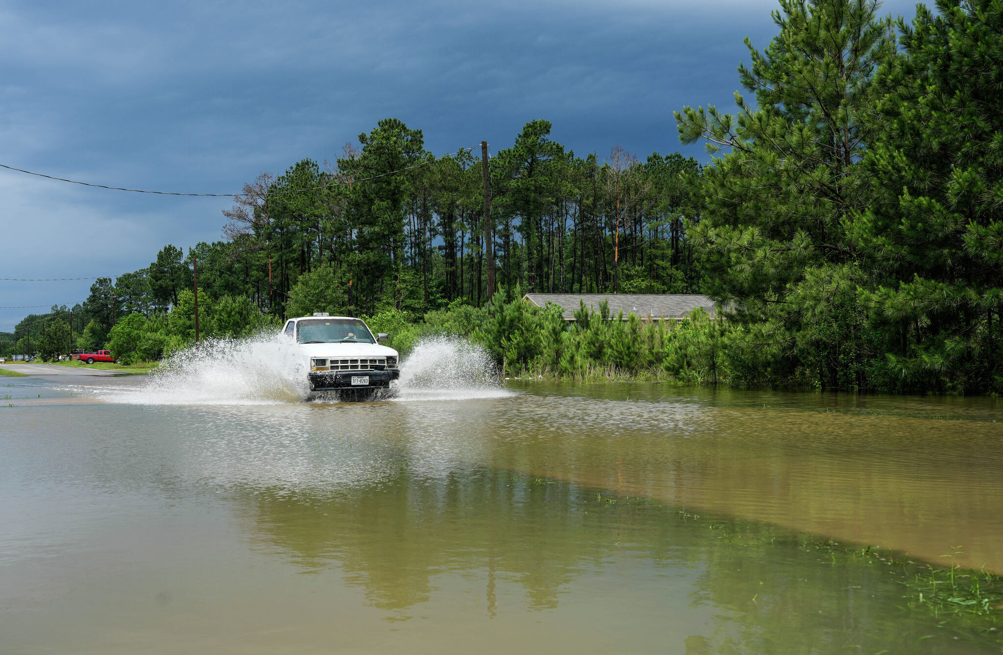
The Houston Chronicle reported that the Weather Prediction Center has placed parts of the region, including areas north of Interstate 10, under an elevated flood risk. Local forecast analysis also says the Houston area could see 1 to 3 inches of rain, with isolated higher amounts possible.
Some locations could end up with totals near 5 inches through Tuesday if storms repeatedly move over the same areas. That raises the risk of street flooding, rapid runoff and travel delays in low-lying or flood-prone neighborhoods.
Public-safety concerns
Abbott urged Texans to monitor local forecasts, make an emergency plan and follow state and local guidance. That advice is especially relevant for people traveling this weekend, attending outdoor events or living in areas that tend to flood quickly.
The weather threat is not only about rain. Houston coverage also says heat index values could exceed 105 degrees this weekend, adding another layer of risk for outdoor workers, eventgoers and anyone spending long periods outside.
Texas routinely prepositions resources when heavy rain potential rises across multiple regions, and Southeast Texas is especially vulnerable when repeated storms move over already wet ground. The combination of a cold front, Gulf moisture and summer heat creates a multi-hazard weather window.
Officials will be watching whether the front stalls over Southeast Texas or shifts the heaviest rain corridor elsewhere. The next key checkpoints are any flood watches or warnings from the National Weather Service and any further state updates on deployed resources.
For now, the main uncertainty is where the strongest rainfall sets up and how long it lasts. That will determine whether flooding stays localized or spreads more broadly across Texas into early next week.
Revision note
Initial automated publication.