Flash flood warnings across Central Texas were extended overnight, triggering repeated Wireless Emergency Alerts as Austin logged record June 15 rainfall, water rescues and flood-control action.
Repeated flash flood warnings overnight in Central Texas woke residents more than once because the National Weather Service kept extending the warning timeframes, which triggered multiple Wireless Emergency Alerts on phones.
NWS Austin/San Antonio issued flash flood warnings overnight into Monday, including alerts at 2:21 a.m. and 5:28 a.m. Jason Runyen, a meteorologist with the weather service, said there were several flash flood warnings and that some were extended, which caused the repeated phone alerts.
Runyen said the weather service had not recently changed how it issues flash flood warnings. The repeated alerts were a result of the danger continuing long enough that the warning period had to be pushed out.
Why the alerts repeated
Wireless Emergency Alerts are designed to notify people when a warning continues or is renewed. In this case, the overnight warnings were not a single short burst of severe weather. They were prolonged as heavy rain and runoff kept the flood threat in place.
The timing made the alerts especially disruptive because they arrived while many residents were asleep. But the repeat notifications also reflected the fact that the flooding risk remained active as conditions evolved through the night.
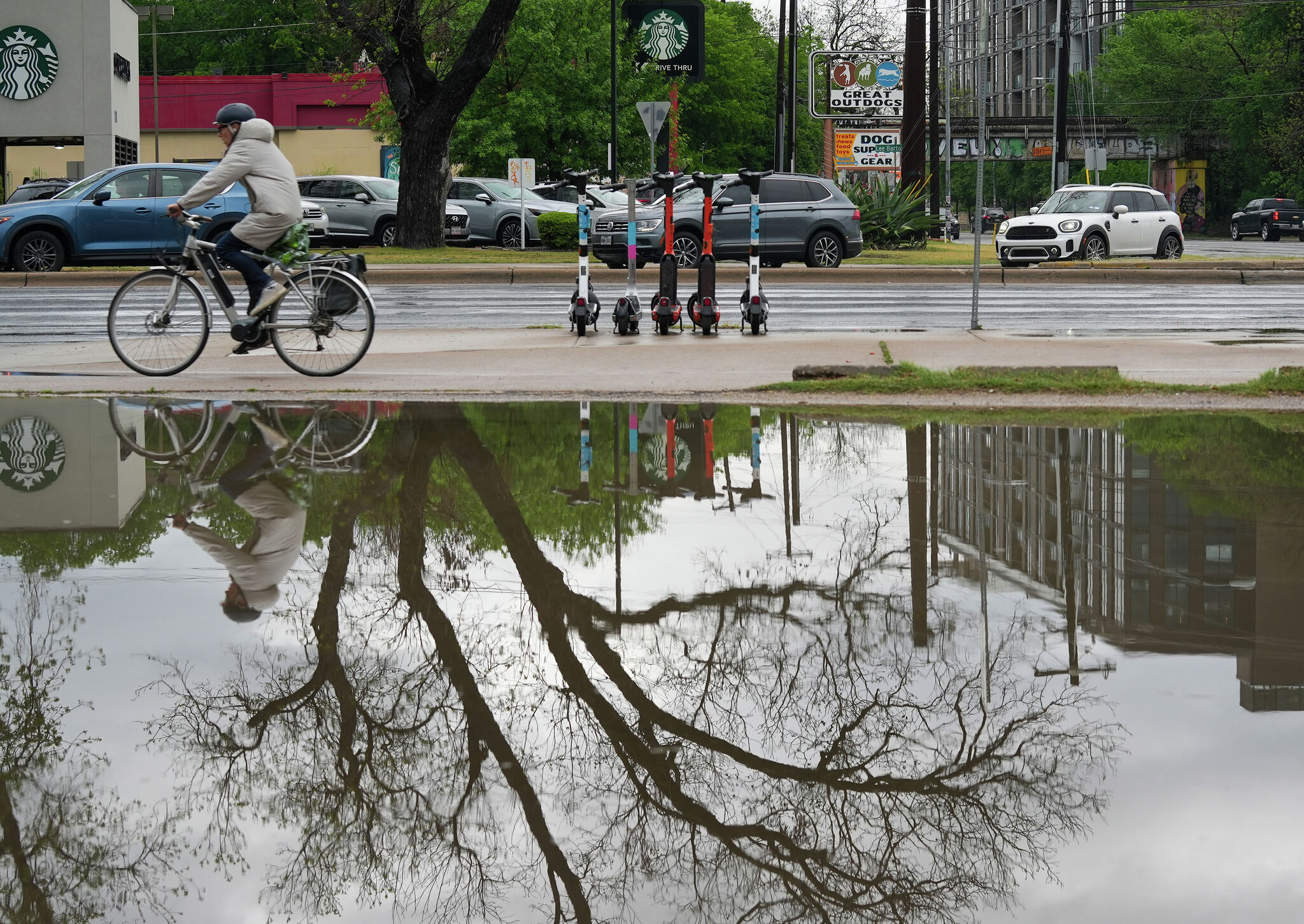
The same storm system also produced fast-moving flood impacts across the Austin area. Austin recorded nearly 3 inches of rain before sunrise on June 15, and local reporting described it as a record rainfall total for that date.
Flood impacts in Austin
The rain led to water rescues and widespread disruption. Austin-Travis County EMS reported rescues in Manor and on Old San Antonio Road, where a vehicle drove into a low-water crossing and the occupant was extricated.
The Lower Colorado River Authority also took flood-control steps, opening two floodgates and later closing one to help manage rising water levels. More than 100 crossings in Austin were closed, according to separate local reporting.
A flood watch remained in effect across parts of South-Central Texas through Tuesday evening. NWS said isolated areas in the region could receive more than 6 inches of rain from the same storm setup, keeping creeks, streets and low-water crossings at risk.
What comes next
Officials and forecasters were still warning that the system could produce additional dangerous rainfall after the overnight round of alerts. That means more closures, more rescues or more warning extensions were still possible if the storms continued.
The immediate question is not whether the alerts were excessive, but whether conditions stay severe enough to require more of them. For residents, the key safety message is unchanged: avoid flooded roads and low-water crossings, and treat any renewed warning as a sign that dangerous flooding is still possible.
Revision note
Initial automated publication.