The World Meteorological Organization says El Niño is underway and could strengthen between July and September, after NOAA confirmed the Pacific event in June.
The World Meteorological Organization says El Niño is underway and could strengthen between July and September, adding pressure to a world already running hot.
The update follows a June 11 confirmation from the U.S. National Oceanic and Atmospheric Administration that El Niño had formed in the Pacific Ocean. Forecasters now say the event could intensify over the next few months, with regional effects expected to vary widely.
What forecasters are saying
WMO Secretary-General Celeste Saulo said the forecast range remains broad and that the agency is still working within a window of uncertainty on how strong the event will become.
The organization said most models point to an event that will be at least moderate and possibly strong. The WMO also rejected the term super El Niño as unofficial and outside its classification system.
Why it matters
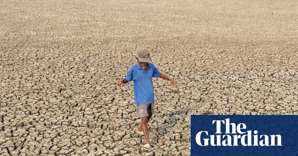
El Niño can shift rainfall and temperature patterns around the world. The latest warnings point to a higher risk of heatwaves, drought and heavy rainfall in different regions, depending on how the Pacific pattern develops.
The Guardian reported that El Niño is associated with heavier rain in parts of South America, the southern United States, the Horn of Africa and Central Asia, and with drier conditions in Central America, northern South America, the Caribbean, Australia, Indonesia and parts of South Asia.
That mix of outcomes has direct implications for agriculture, water supply and wildfire risk, especially in countries that are already vulnerable to weather shocks.
How the story developed
The WMO first warned on June 2 that El Niño had an 80% chance of forming before September and a 90% chance before November. On June 11, AP reported that NOAA had officially confirmed the event in the Pacific, with the U.S. agency saying there was a 63% chance it could reach very strong intensity by November-January.
A fresh update published on July 3 said the event could strengthen between July and September, making this the latest official signal that the Pacific pattern is now active and potentially building.
What to watch next
Forecasters will be watching the next WMO and NOAA seasonal updates for changes in timing and intensity.
The key open questions are whether the event stays moderate or strengthens further, and which regions see the sharpest rainfall or drought anomalies as monsoon and seasonal forecasts are revised.
For now, the message from climate agencies is straightforward: El Niño has returned, and the next few months will determine how disruptive it becomes.
Revision note
Initial automated publication.