The National Weather Service has issued a flood watch for South-Central Texas from Sunday evening through Tuesday evening, warning that 1 to 3 inches of rain could fall widely with isolated totals up to 8 inches and dangerous flash flooding.
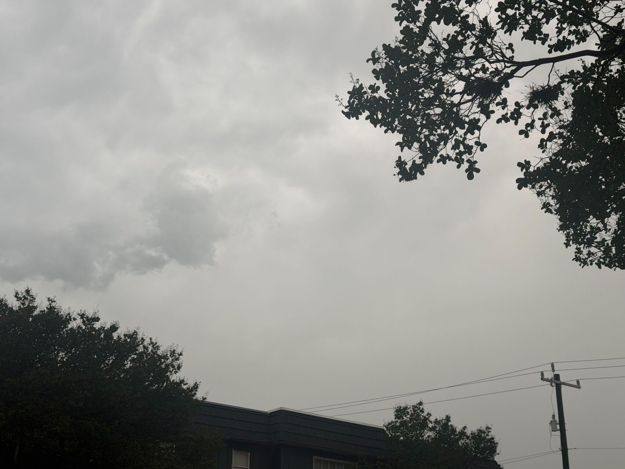
The National Weather Service has issued a flood watch for South-Central Texas as slow-moving storms and unusually high moisture raise the risk of dangerous flooding from San Antonio to Austin and across the Hill Country.
The watch is in effect from 7 p.m. Sunday, June 14, through 7 p.m. Tuesday, June 16. Forecasters say most areas in the watch zone could see 1 to 3 inches of rain, but isolated spots could pick up as much as 8 inches.
The watch covers San Antonio, Austin, the Texas Hill Country, the Edwards Plateau, the Rio Grande Plains and the Coastal Plains. Cities named in coverage include Fredericksburg, Kerrville, Llano, New Braunfels, Pleasanton, Pearsall, Uvalde, Seguin, Eagle Pass and Del Rio.
Why the flood risk is high
Meteorologists say tropical moisture interacting with a weak or summer cold front could help produce slow-moving thunderstorms and repeated rounds of heavy rain. In the strongest storms, rainfall rates could exceed 2 to 3 inches per hour.
That setup is especially dangerous in South-Central Texas, where creeks, low-water crossings and urban drainage systems can flood quickly when storms stall or train over the same area.
The National Weather Service warned of the potential for life-threatening flooding somewhere in the watch area. It also said excessive runoff may flood rivers, creeks, streams and other low-lying or flood-prone locations.
What forecasters are watching next
Local reporting on Sunday described the setup as part of a broader Texas rain pattern tied to tropical moisture and a front. One report said the region was under a Level 2 of 5 risk for excessive rainfall.
The immediate question is where the heaviest rain bands set up and whether parts of the watch area are upgraded to flash flood warnings. Emergency managers and storm spotters are expected to monitor the Hill Country, the I-35 corridor and the coastal plain counties closely.
Residents in the watch area should be ready for rapidly changing conditions through Tuesday evening, especially in flood-prone areas and along low-water crossings.
Revision note
Initial automated publication.