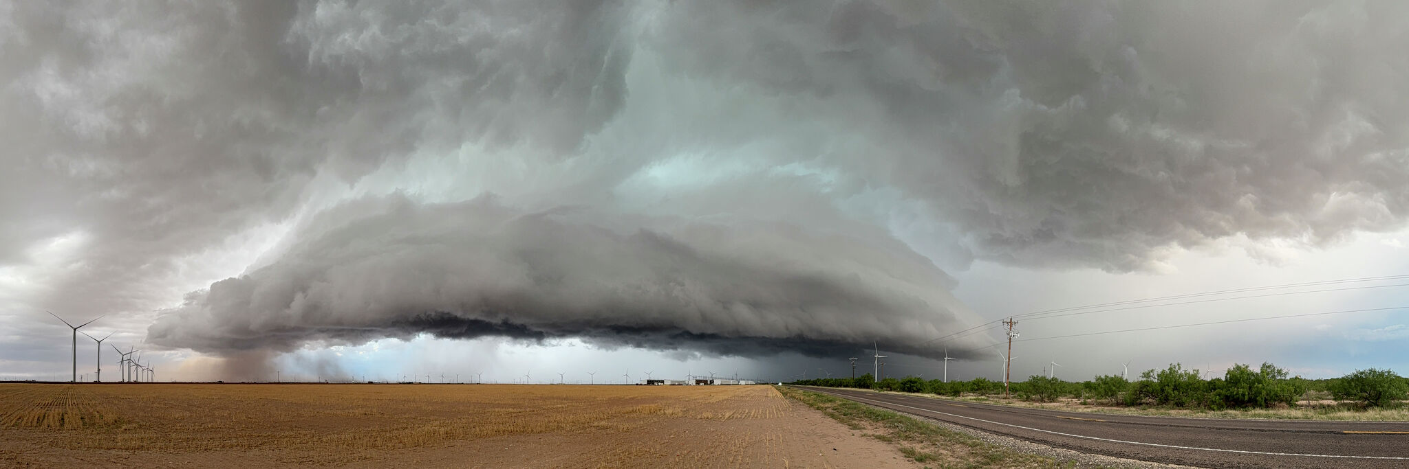
Forecasters say the Texas Panhandle could see severe thunderstorms Thursday afternoon into early Friday, bringing hail, damaging winds and a low tornado risk around Amarillo and nearby towns.
The Texas Panhandle could face a round of severe weather Thursday afternoon and evening, with the main threats expected to be hail, damaging winds and a low chance of tornadoes.
Forecasters with the National Weather Service in Amarillo say storms may start forming as early as 3 p.m. Thursday, then become more likely from about 6 p.m. to 11 p.m. The strongest storms could continue into early Friday morning.
Where the threat is highest
The central and northern Panhandle appear to be most at risk, including the Amarillo area and towns nearer the Texas-Oklahoma border. Coverage based on the NWS forecast says storm chances rise to around 60% near Amarillo and roughly 70% to 80% farther north by Thursday evening.
What storms could bring
The expected hazards include quarter-sized hail, wind gusts near 70 mph and isolated tornado potential. The overall tornado risk is described as low, but forecasters are still flagging it as part of the severe-weather picture.
Another forecast discussion says thunderstorms could move in from eastern New Mexico and Colorado, and that storm chances vary across the Panhandle from about 20% to 60% depending on location and time of day.
What to watch
A second round of storms is possible early Friday, so the threat may not end Thursday night. Residents should watch for any watches or warnings issued by NWS Amarillo and for any update on whether storms organize into a line or remain isolated cells.
The forecast is a near-term public-safety alert rather than a damage report. If the strongest storms materialize, the main concerns will be roof, vehicle and crop damage from hail, plus possible wind damage from stronger gusts.
Revision note
Initial automated publication.