Flood alerts eased in parts of the New Braunfels area Monday, but city officials closed the Comal River to recreation after heavy rain pushed flows above 500 cubic feet per second.
Flood alert eases, but danger remains
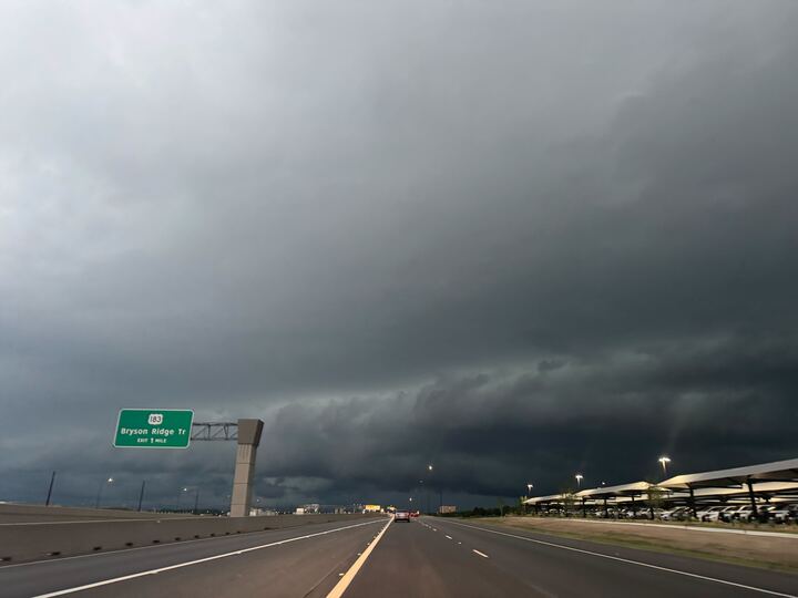
Heavy rain across South and Central Texas prompted flood alerts in New Braunfels and nearby communities Monday, even as the National Weather Service downgraded an early flash-flood warning to a flood advisory for parts of Comal, Guadalupe and Bexar counties.
The advisory remained in effect until 10 a.m. and covered areas including New Braunfels, Schertz, Canyon Lake, Seguin and Cibolo. Forecasters said radar had already indicated 1 to 3 inches of rain, with up to another inch still possible.
The Weather Service said flooding was possible in low-lying areas and on roadways with poor drainage. A broader flood watch remained in effect across South-Central Texas through Tuesday evening, with additional thunderstorms possible.
River closure adds a local impact
By midafternoon, New Braunfels officials had added a new local response to the storm: the city temporarily closed the Comal River to recreational activity.
Officials said rising flows and debris had made conditions hazardous. The river was reported flowing at more than 500 cubic feet per second when the closure was ordered.
City officials said conditions on the Comal River would be reevaluated Tuesday, June 16, 2026.
Regional storm system
The New Braunfels weather threat was part of a larger storm system affecting the region. Related coverage from San Antonio showed widespread flooding and road closures elsewhere in Bexar County as the same weather moved through.
For motorists, the immediate concern was flooded streets and low-water crossings. For river users, the concern shifted to fast-moving water and debris in one of New Braunfels' most heavily used recreation spots.
The broader pattern also left open the chance of more impacts if the rain kept falling. Forecasters said more thunderstorms were possible, and that could bring additional road closures or keep river conditions unsafe into Tuesday.
What to watch next
The next major update will come from the National Weather Service, which could extend, end or adjust the flood advisory as the storm system evolves.
Another checkpoint is the city's Tuesday reevaluation of the Comal River. If runoff stays elevated or more rain develops, the closure could last longer.
For now, the storm's main effects are concentrated on public safety: flooded roads, restricted river access and the risk of additional closures if conditions worsen.
,Revision note
Expanded with full chronology, river closure context, regional impacts, and next steps.