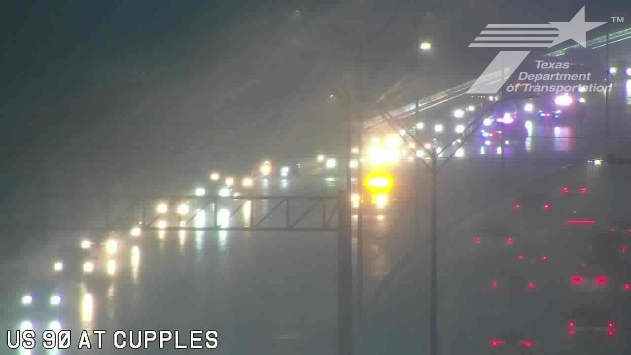
Heavy rain on Monday triggered flash flood warnings across the San Antonio area, bringing more than 40 road closures, a Loop 410 high-water rescue and outages for thousands of CPS Energy customers.
Heavy rain triggered flash flood warnings across San Antonio on Monday, turning the morning commute into a public safety response as roads closed, rescues mounted and power outages spread across the metro area.
The National Weather Service issued a Flash Flood Warning for much of Bexar County and nearby communities, including downtown San Antonio, Alamo Heights, Leon Valley, Helotes, Schertz and China Grove. Officials urged residents to avoid flooded roads, low-water crossings and barricaded streets.
By midmorning, the San Antonio Express-News reported 2.61 inches of rain at San Antonio International Airport, setting a new June 15 rainfall record and topping the previous mark of 1.68 inches from 1894. The same report said more than 40 roads were closed across Bexar County, with many of the closures on the North Side.
mySA later reported that some parts of the warning area had already received 4 to 7 inches of rain. It also reported a high-water rescue on Loop 410 at Jackson Keller Road, where westbound lanes were closed before reopening at 10:31 a.m.
Response Across The City
The San Antonio Fire Department said it had responded to 20 water rescues and investigations since around 6 a.m., according to mySA. The figure shows how quickly the storm system escalated from heavy rain into a wider emergency involving drivers, first responders and flood-prone roadways.
Power outages added another layer of disruption. CPS Energy reported nearly 9,789 customers without power at 7:10 a.m., and the Express-News later reported that more than 10,300 customers were affected as of 7:30 a.m.
The outage totals, road closures and rescue calls point to a rapidly changing storm impact that strained the city’s transportation network during the morning rush. Public works crews, police and emergency responders were all part of the response as drivers encountered flooded streets and closures.
What Officials Are Watching
The National Weather Service also kept a broader Flood Watch in effect for South-Central Texas through Tuesday evening, leaving open the possibility of additional rain and more flooding before the system moves on.
Officials are now watching several measures closely: whether more roads can reopen, whether additional rescue calls come in, how quickly power is restored and whether the warning or flood watch need to be extended.
The situation remains especially dangerous on low-water crossings, underpasses and other flood-prone roads, where even short bursts of intense rainfall can create life-threatening conditions. Residents were warned not to drive through barricades or enter water-covered streets.
San Antonio has a long history of flash-flood risk, and Monday’s storm again showed how quickly heavy rain can disrupt a major metro area. For now, the immediate focus is on road conditions, rescue activity, outage restoration and the next National Weather Service update.
Revision note
Rewritten with fuller chronology, impacts and next-step context.