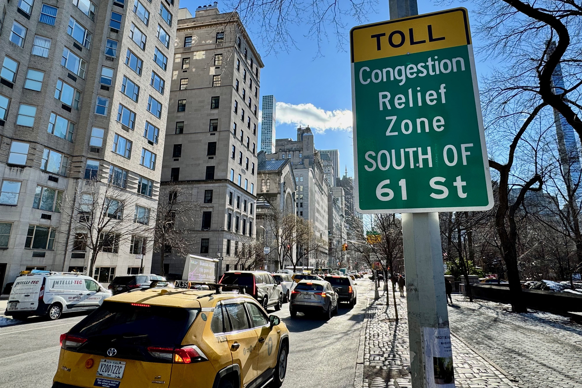
MIT researchers have published a new system for estimating vehicle emissions at block-level resolution using traffic cameras and anonymized mobile data. The Manhattan-tested approach, published April 2 in Nature Sustainability, found congestion pricing cut traffic volumes about 10% and emissions 16% to 22% eight weeks after launch.
MIT researchers have published a new method for estimating vehicle emissions at much finer resolution than conventional inventories, using traffic camera footage and anonymized mobile phone location data to track emissions block by block and hour by hour.
The study, from the MIT Senseable City Lab, was published April 2 in Nature Sustainability and highlighted the need for faster, more localized emissions data as cities test congestion policies and other traffic interventions.
According to MIT News and the paper’s abstract, the model was validated in Manhattan and designed to capture spatiotemporal variation that broader emissions estimates can miss. The researchers say that omitting fine-grained inputs can introduce large uncertainty in emissions calculations.
The approach is also described as privacy-preserving because it identifies vehicle types without compiling license plate numbers.
In Manhattan, the paper reports that eight weeks after congestion pricing began, traffic volumes fell by about 10% and emissions dropped by 16% to 22%. The result is presented as an example of how the system can provide faster feedback on policy effects than traditional inventories.
The study does not yet establish how the method performs in other cities, and MIT’s initial reporting does not name any outside agencies that plan to adopt it. But the authors position it as a tool that could give policymakers a clearer view of where traffic emissions are rising or falling in near real time.
Revision note
Initial automated publication.