The National Weather Service says parts of the Texas Panhandle and nearby North Texas face severe thunderstorms Friday evening into early Saturday, with hail up to 1.25 inches, gusts to 60 mph, and a low tornado risk.
Late-day thunderstorms could bring hail, damaging winds, and a low-end tornado threat to parts of the Texas Panhandle and nearby North Texas Friday evening into early Saturday, according to the National Weather Service.
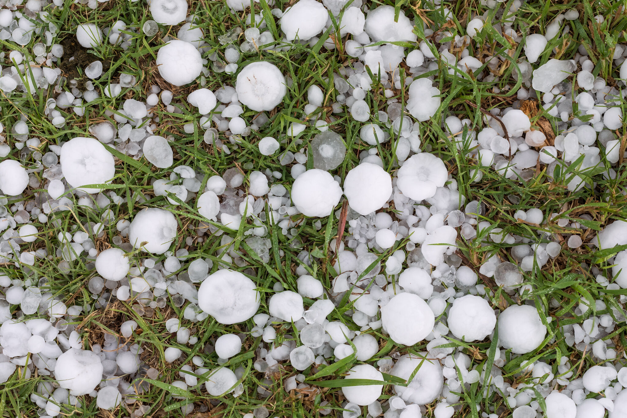
The main window for the storms is expected to run from about 7 p.m. Friday through 2 a.m. Saturday, June 27. Forecasters said hail could reach 1.25 inches in diameter and wind gusts could top 60 mph.
A flood watch is also in effect after several inches of rain fell over the previous 24 to 48 hours.
Storm window and hazards
The National Weather Service said the storms are expected to begin in the northwest Panhandle and move eastward overnight. The threat includes severe thunderstorms with hail and strong winds, plus a low but nonzero chance of tornadoes.
Coverage identified Amarillo, Borger and Beaver among the communities in the path of the developing weather.
Why forecasters are concerned
Meteorologists say the setup is being driven by a combination of heat, moisture and instability over the region. They also said how much the atmosphere recovers from Thursday's weather will help determine how strong the storms become.
The broader pattern is part of a run of severe-weather threats across Texas this week, with earlier storms already prompting warnings in the Panhandle.
Why it matters
Damaging wind and hail could affect travel and outdoor plans Friday night. The flood watch adds concern for localized flooding in areas that have already had heavy rain.
The weather shift will not last long. Forecasters expect dangerous heat to follow on Saturday, June 27, with temperatures potentially reaching 100 to 110 degrees.
What to watch next
The key questions overnight are whether the storms become more organized, whether any severe thunderstorm or tornado warnings are issued, and whether hail or wind reaches the upper end of the forecast range. Officials are also watching for reports of flooding, power outages or hail damage as the line moves east.
Revision note
Initial automated publication.