The Met Office has expanded its extreme heat warning for much of England and Wales, forecasting temperatures up to 38C and possible June record-breaking heat later this week.
The Met Office has expanded its extreme heat warning as forecasters say temperatures could reach 38C across parts of the UK this week, raising the prospect of a new June temperature record.
The warning now covers much of southern England, central and eastern Wales, and the Midlands on Monday and Tuesday, before extending midweek to parts of Greater Manchester, Yorkshire and Cheshire. Forecasters say the hottest conditions are likely to arrive in the middle of the week.
The latest forecast has increased confidence that the UK could challenge the current June record of 35.6C, which was set in 1976. The Met Office has described the developing spell as an impactful severe weather event rather than a routine burst of summer heat.
Warning expands
The shift in the forecast follows an amber extreme heat warning issued on Friday for parts of England and Wales. By Sunday, the Met Office had widened the alert as the expected heat intensified and the area at risk expanded.
The agency's deputy chief forecaster, Tom Crabtree, said the heatwave could affect public health, infrastructure, power supply and water resources. Those risks rise when high daytime temperatures are combined with several warm nights in a row.
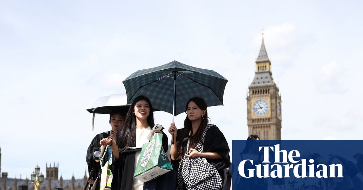
Widespread tropical nights are expected in southern England, especially in urban areas, where temperatures may not fall below 20C overnight. That matters because it limits recovery from daytime heat and can make the impact on vulnerable people more severe.
Health and services
The UK Health Security Agency has issued yellow and amber heat health alerts, warning health and social care services to prepare for extra demand. The alerts are aimed at helping services plan for the strain that prolonged heat can place on staff, buildings and patients.
People in affected areas are being advised to drink plenty of fluids, avoid direct sun during the hottest part of the day and keep homes as cool as possible. Older adults and other vulnerable people face the highest risk, but the heat can also put pressure on transport, energy and water systems.
The wider risk is that more people will try to cool off near rivers, lakes and coasts while temperatures are at their highest. That can increase the chance of water safety incidents if conditions become crowded or people underestimate the heat.
What happens next
Forecasters say conditions may ease by Friday, with highs around 33C in eastern areas. Even so, the key question is whether the midweek peak will reach 38C or be revised up or down as the week unfolds.
The next update point is likely to come before the hottest days arrive, when the Met Office can refine the warning area and the UK Health Security Agency can decide whether to extend or upgrade its alerts further.
Revision note
Initial automated publication.