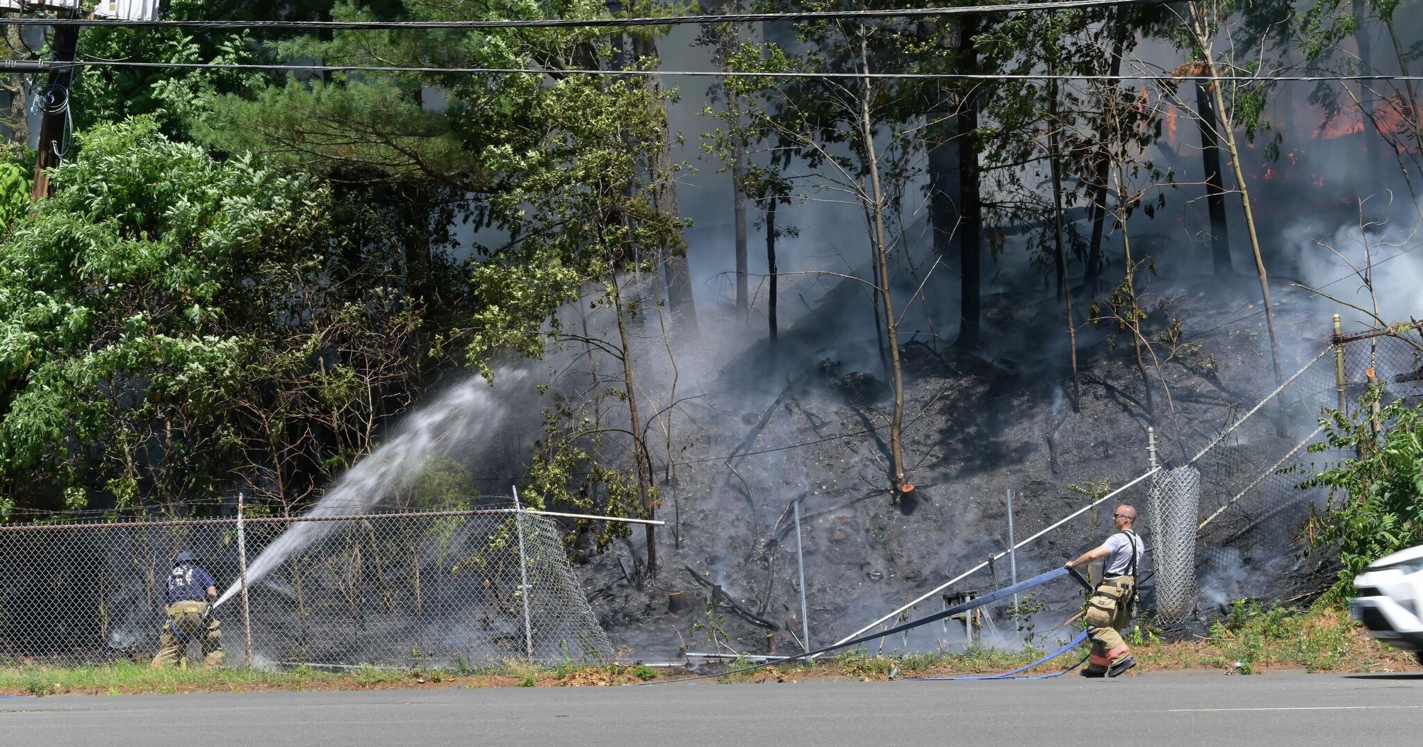
Connecticut’s fire danger remained elevated Friday as DEEP kept parts of the state at high brush-fire risk despite Thursday storms and ongoing drought conditions.
Connecticut’s Department of Energy and Environmental Protection kept parts of the state at high brush-fire danger Friday, even after Thursday thunderstorms brought some rain to the region.
The agency’s daily fire-danger map showed high risk in eastern Litchfield County, all of Hartford, Tolland, Windham and New London counties, plus parts of Middlesex and New Haven counties. The rest of Connecticut was rated moderate.
DEEP also kept burn-permit restrictions in place for high-danger areas. Burning permits are not valid within 100 feet of grassland or woodland in areas rated high, very high or extreme.
Why the risk stayed elevated
Rainfall from Thursday’s storms was uneven. One reported top total reached 1.31 inches in Woodbury, but many areas received less.
That mattered because drought conditions were still present. Southern Connecticut remained in moderate drought, according to the U.S. Drought Monitor, and dry fuels continued to support elevated fire danger.
Recent heat, humidity and scattered thunderstorms added to the volatile weather setup, but not enough rain fell broadly enough to fully reduce the brush-fire risk.
What to watch next
DEEP updates its forest fire danger report daily, so the risk map could change if more rain falls over the weekend.
Officials will be watching whether additional precipitation eases drought conditions and whether any brush fires are reported in the affected counties.
Revision note
Initial automated publication.