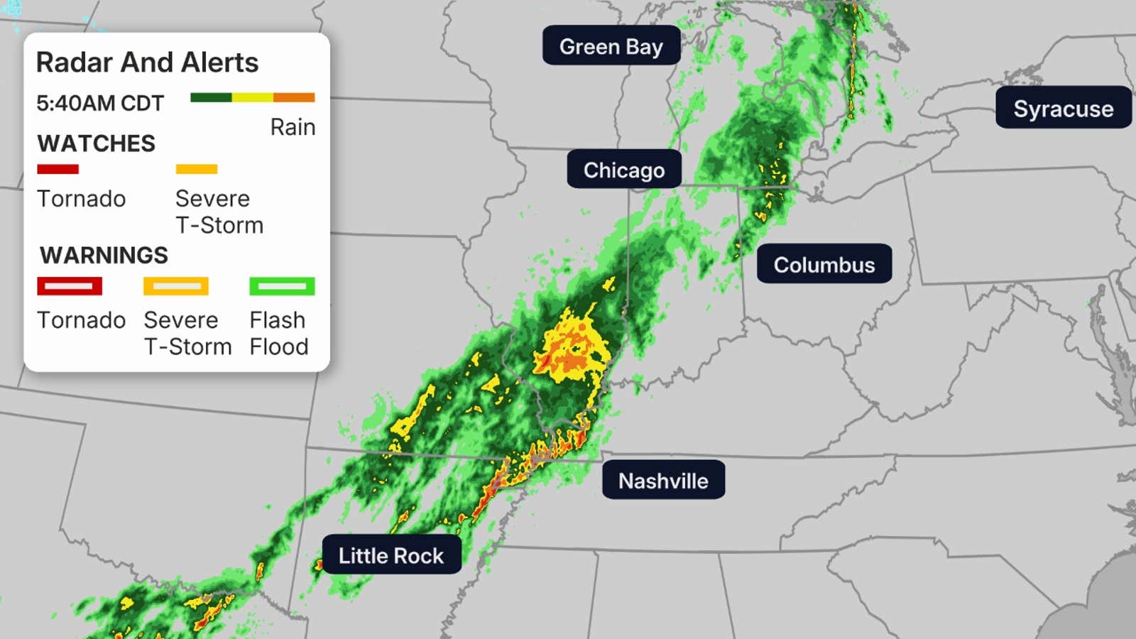
Forecasters say a multi-day severe weather outbreak is keeping a tornado threat alive overnight across parts of the Plains and Upper Midwest, with damaging winds, large hail and flash flooding also possible.
Severe thunderstorms are continuing overnight across parts of the Plains and Upper Midwest as a multi-day outbreak keeps the risk of tornadoes, large hail and damaging winds elevated.
The National Weather Service Storm Prediction Center said severe storms would continue after dark across Kansas, far eastern Nebraska, Iowa, northwest Missouri and southern Minnesota. Forecasters said the setup still supports tornado potential, including a few strong tornadoes.
Weather.com said the outbreak could peak Monday in the Central Plains and mid-Mississippi Valley, with the tornado threat lasting into the evening and overnight. AccuWeather also warned the system could produce tornadoes, destructive wind gusts, giant hail and flash flooding across the Plains and Midwest.
The active pattern has already prompted multiple severe-weather updates from forecasters as storms continue to organize and move through the region.
What to watch
The main concern remains the overnight timing of the storms, which can make tornadoes harder to spot and more dangerous. Forecasters also say damaging wind and hail threats remain in play alongside heavy rain.
The situation may change quickly as the system moves east and surveys begin to confirm damage and any tornadoes that have already formed.
Revision note
Initial automated publication.