A Flood Watch is in effect for South-Central Texas, including San Antonio, as a summer cold front and tropical moisture could bring rounds of heavy rain and flash flooding from Sunday night through Tuesday.
A Flood Watch is in effect across South-Central Texas as a summer cold front brings the threat of storms, heavy rain and flash flooding starting Sunday night and continuing into Tuesday.
Forecasters say the setup could produce rounds of showers and thunderstorms, with the heaviest rain expected late Monday into early Tuesday. Coverage of the forecast says San Antonio-area rain chances could rise into the 60% to 80% range on Monday, with showers likely after 7 a.m. in one report.
The National Weather Service issued the Flood Watch from 7 p.m. Sunday, June 14, through 7 p.m. Tuesday, June 16. The watch covers South-Central Texas, including San Antonio and nearby Hill Country communities.
What forecasters are warning about
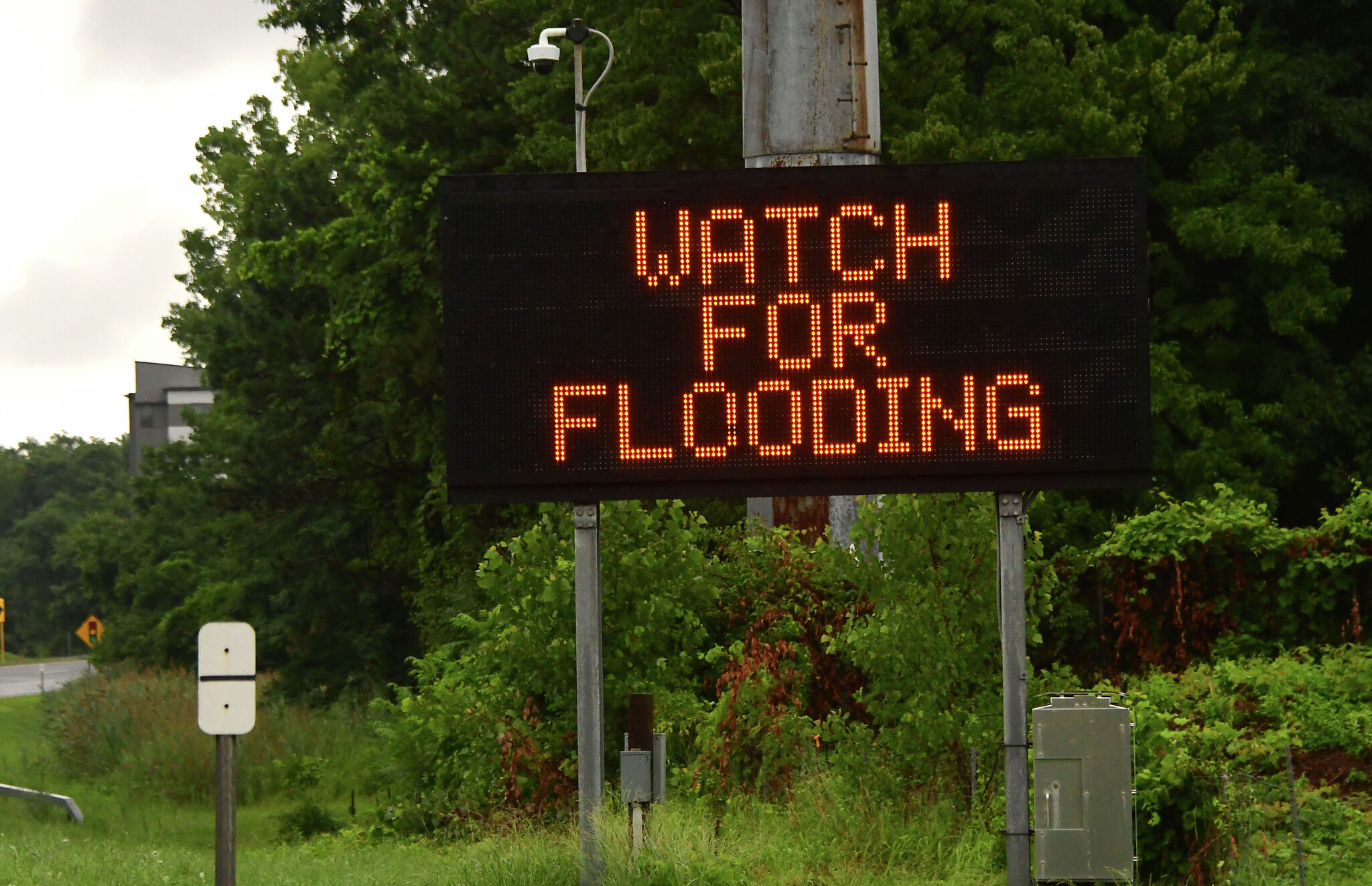
The main concern is localized flash flooding. Reports say isolated pockets could receive more than 8 inches of rain, while much of the area may see 1 to 3 inches. Rainfall rates above 2 to 3 inches per hour are also possible in the strongest bands.
That kind of rainfall can quickly overwhelm drainage systems and make roadways and low-water crossings dangerous or impassable. Forecasters have also warned that some flooding could become life-threatening in the most affected areas.
Why this pattern stands out
The threat is tied to a summer cold front interacting with tropical moisture over South-Central Texas. That combination is unusual for mid-June and should bring a brief cooldown to San Antonio before hotter weather returns by Wednesday, June 17.
One report describes a marginal excessive-rainfall risk over much of the area, while another highlights a slight risk for the Coastal Plains. The exact placement of the heaviest rain bands will determine which communities see the worst impacts.
What to watch next
Residents and drivers in San Antonio, the Hill Country and across South-Central Texas should watch for updated forecasts, Flood Warnings and possible road closures through Tuesday.
The biggest immediate risks are flooded low-water crossings, dangerous commutes and rapid rises in water in flood-prone areas.
Revision note
Initial automated publication.