Texas and Houston officials escalated flood preparations Tuesday as a slow-moving weather system threatened repeated heavy rain across Southeast Texas, with forecasters warning of dangerous flash flooding.
Houston and state officials moved deeper into emergency mode Tuesday as a slow-moving weather system threatened repeated rounds of heavy rain and flash flooding across Southeast Texas.
Gov. Greg Abbott issued a disaster declaration for 101 Texas counties, while Houston Mayor John Whitmire said city crews would lower Lake Houston, stage barricades in flood-prone areas and position rescue teams with vehicles and boats.
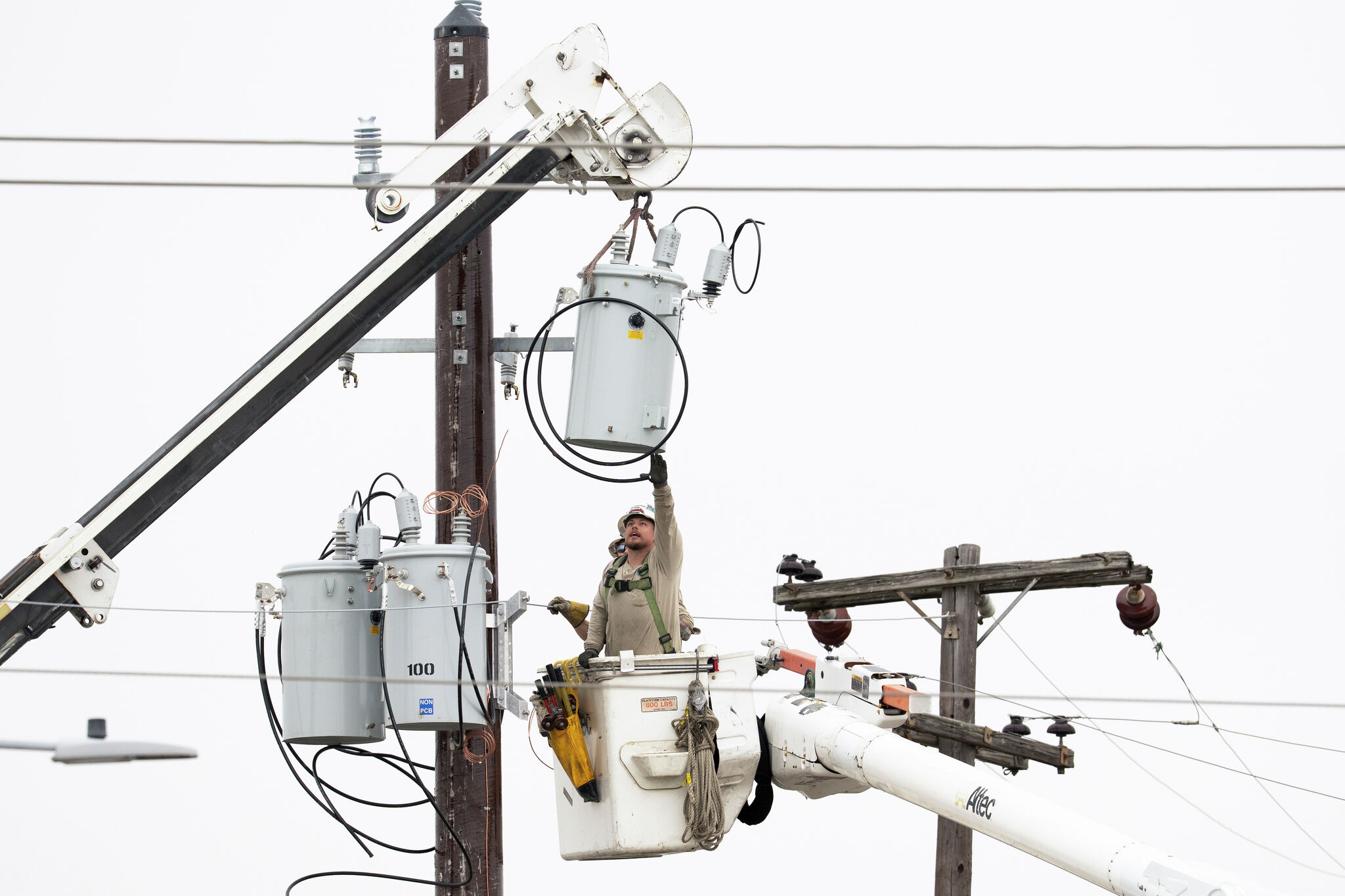
CenterPoint Energy also activated its emergency operations center and said it was increasing staffing and coordination ahead of possible outages.
Forecasters have warned that the setup could produce dangerous rainfall totals in the Houston area, with some localized spots potentially receiving more than 10 inches as storms train over the same corridors.
Flood threat builds
The region was already under a flood watch before the latest emergency steps were announced. Local reporting first placed Houston and much of Southeast Texas under flood watch as the storm system approached, then said the watch was extended as the risk of life-threatening flash flooding increased.
The threat is being driven by a moisture-rich, slow-moving pattern rather than by wind from a named storm. That means the main hazard is repeated heavy rain, rapid runoff and water rising quickly on roads, in neighborhoods and along bayous and drainage channels.
Officials have said the goal of the early response is to reduce delays if water rescues become necessary and to get equipment into position before roads become impassable.
State and city response
Abbott’s disaster declaration covers a broad swath of the state and gives agencies additional room to coordinate resources during the severe weather threat.
In Houston, Whitmire said the city would take steps to protect low-lying areas and support response crews if conditions worsen. Houston Public Works is lowering Lake Houston, and barricades are being staged in areas known to flood.
Houston Police Department and Houston Fire Department resources are part of the response posture, along with rescue vehicles and boats that can be deployed quickly if street flooding surges.
CenterPoint said its emergency operations center was active as the utility prepared for the possibility of outages or infrastructure problems if storms hit the grid.
Public-safety stakes
The most immediate risk is to drivers, residents in flood-prone neighborhoods and emergency responders who may need to reach stranded people. Flash flooding can develop with little warning when storms repeatedly move across the same area.
Officials are also watching for possible disruption to public events in Houston, including World Cup-related activities. Any change would depend on how the rain bands set up and whether flooding worsens.
Residents have been urged to avoid flooded roads and follow guidance from local and state authorities as conditions evolve.
The main uncertainty now is timing and placement: where the heaviest rain falls, how long the bands linger and whether the flood watch is extended or upgraded to warnings in additional areas.
Forecast updates over the next 24 to 48 hours will determine whether this remains a high-impact flood scare or becomes a more widespread emergency for the Houston region.
Revision note
Initial automated publication.