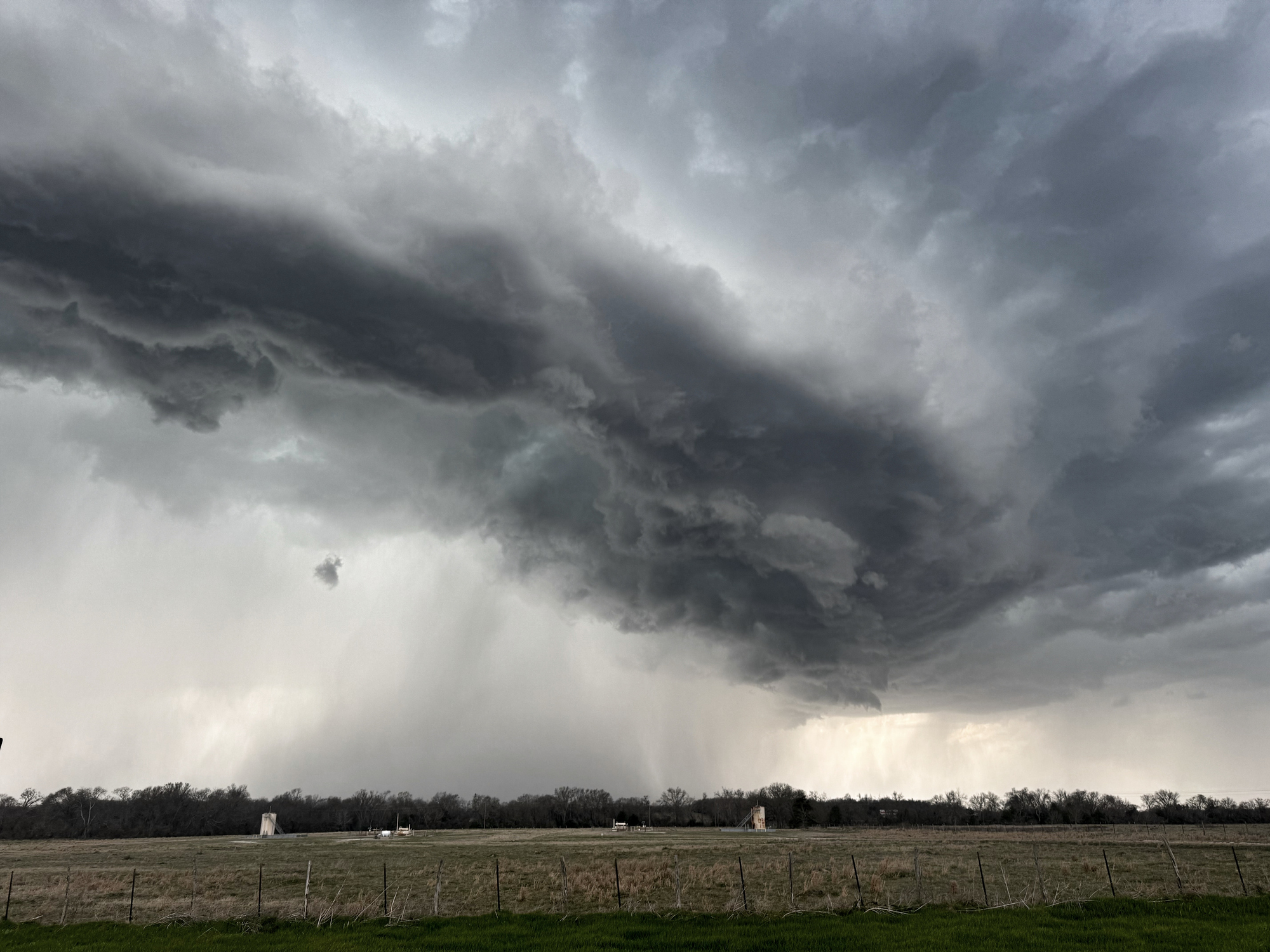
North Texas was under a severe thunderstorm watch through 11 a.m. Monday, June 22, with forecasters warning of damaging wind gusts up to 75 mph, quarter-sized hail, heavy rain, localized flooding and frequent lightning.
North Texas was under a severe thunderstorm watch Monday morning as forecasters warned of damaging winds, quarter-sized hail, heavy rain and localized flooding.
The watch covered parts of the Dallas-Fort Worth area, Sherman and Paris through 11 a.m. Monday, June 22, 2026. Forecasters said wind gusts could reach 75 mph, with frequent lightning also expected.
The main concern was a weakening storm complex moving southeast out of Oklahoma. Coverage cited the system as carrying enough instability to keep severe weather threats in place through the morning hours.
What forecasters said
The reported hazards included damaging wind, hail large enough to reach quarter size, heavy rainfall and the possibility of localized flash flooding. One report said rain chances during the watch period were around 70%, with expected rainfall totals of roughly one-quarter to one-half inch.
What comes next
Storm chances were expected to ease later in the day, but forecasters said additional storm chances could return Tuesday, June 23, and Wednesday, June 24.
Residents in the watch area were being urged to monitor alerts closely, especially for any severe thunderstorm warnings or flood advisories that could follow. Outdoor plans, travel and activities near trees, power lines and low-water crossings were the most immediate concerns.
Revision note
Initial automated publication.