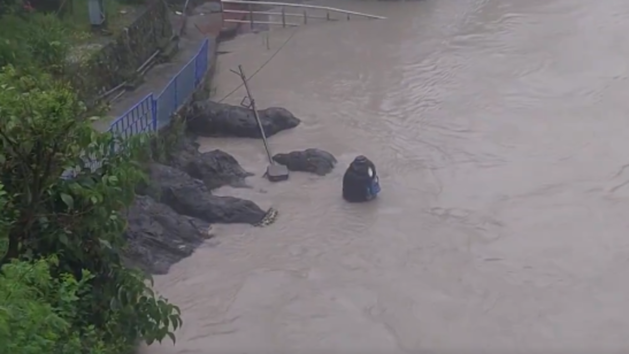
The India Meteorological Department has issued an orange alert for Uttarakhand as heavy rain, thunderstorms and lightning swell rivers and raise flood and landslide risks across the hill state.
Heavy rain continued to lash Uttarakhand on Friday, with the India Meteorological Department issuing an orange alert for the hill state as rivers swelled and public-safety risks increased.
Local reporting said the downpour has raised the threat of flooding in low-lying areas and landslides in the mountains, where fragile slopes and blocked roads can quickly turn weather warnings into transport disruption.
Weather warnings and timing
The latest alerts call for heavy to very heavy rain, along with thunderstorms and lightning. Coverage on July 10 said the intense rain is expected to continue over the next two days.
Separate local reports on the same day said conditions had already prompted stronger warnings in some districts, including a red alert for Dehradun and school closures in parts of the state, including Tehri and Nainital.
That leaves the immediate picture uneven across Uttarakhand: one set of reports describes a statewide orange alert, while district-level updates point to red-alert conditions in some places.
Rivers, roads and schools
The most immediate concern is the swelling of rivers, which can quickly raise flood risk during sustained monsoon rain. Authorities have also warned people to avoid unnecessary travel and stay alert.
The state’s road network remains vulnerable when rain is persistent, especially on hill routes where landslides can block traffic and isolate communities. Reports also said Char Dham highways had been shut in connection with the weather threat, increasing the chance of delays for residents and pilgrims.
School closures reported in some districts add to the disruption, showing how quickly the monsoon surge is affecting daily life beyond the weather itself.
Why the risk is high
Uttarakhand is especially exposed during the monsoon because steep terrain, fast-moving water and narrow roads can combine to amplify heavy rain into flash flooding, road closures and slope failures.
That makes the current alert significant not only as a forecast, but as a live public-safety situation for mountain communities, motorists and pilgrims traveling toward the Char Dham route.
What to watch next
The key questions over the next day are whether district alerts are expanded or upgraded, whether river levels rise further toward danger marks, and whether more schools, highways or pilgrimage routes are formally closed.
Residents and travelers have been told to stay cautious as the weather system continues to affect the state.
Revision note
Initial automated publication.