The IMD’s latest bulletin points to heavy rain, thunderstorms and strong winds in some states as the southwest monsoon advances, while heatwave conditions persist elsewhere.
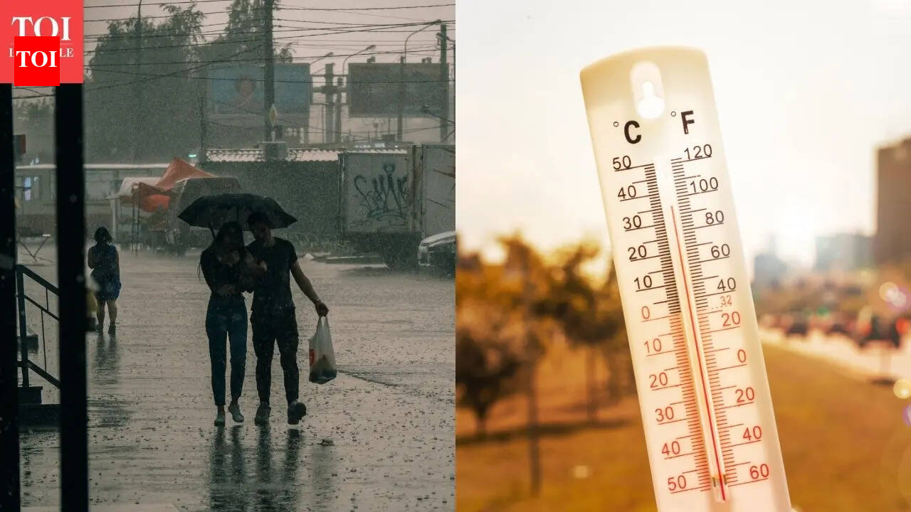
India’s weather picture is turning more complicated as the India Meteorological Department’s latest bulletin points to a mix of heavy rain, thunderstorms, strong winds and lingering heatwave conditions across different parts of the country.
For travellers, the concern is not one single nationwide hazard but several regional ones at once. Some states are preparing for heavier monsoon rainfall and storm activity, while others are still dealing with dangerous heat.
Monsoon advance and rain risk
Reporting on the June 13 IMD bulletin says conditions are favourable for the southwest monsoon to move further into Maharashtra, the remaining parts of Karnataka, Telangana, Andhra Pradesh, West Bengal and parts of Odisha, Jharkhand, Bihar and Chhattisgarh over the next two to three days.
That advance matters because monsoon progression is rarely smooth or evenly distributed. The bulletin points to heavy rainfall and thunderstorms in the affected areas, which can quickly produce waterlogging, local flooding and short-notice changes to travel plans.
The broader seasonal context also matters. The southwest monsoon reached Kerala on June 4, and coverage over the past week has tracked its gradual spread northward and eastward.
Storm alerts in Delhi-NCR and nearby areas
Separate same-day reporting said IMD issued a red alert for Delhi and adjoining areas, with thunderstorms, lightning and winds of 60 to 70 kmph, and gusts reaching up to 80 kmph in some locations.
That level of wind can disrupt road movement, outdoor activity and short-haul transport schedules. Lightning adds a separate hazard for anyone in exposed areas, especially during fast-moving storm cells.
Another June 13 report said rainfall, thunderstorms and gusty winds were expected to continue in Vidarbha through June 18, with stronger activity around June 13 and June 16. That suggests the weather risk is not confined to a single brief window.
Heat is still a live hazard
While rain and storms are building in some regions, the IMD bulletin also points to heatwave conditions persisting elsewhere. That leaves parts of India facing a different kind of hazard even as the monsoon strengthens in other places.
The practical effect is a split weather map: storm disruption and possible flooding in some states, heat stress in others. For residents and visitors, that means the same day can require very different precautions depending on location.
What this means for travellers
The main travel risks are delays, diversions and changes to local movement. Heavy rain can affect visibility and road conditions, while strong winds and thunderstorms can disrupt flights, rail operations and outdoor itineraries.
Local drainage overflow and waterlogging are the main concerns in rain-hit areas. In storm-hit areas, the biggest risks are lightning exposure and damaging gusts.
Because the bulletin covers multiple regions, timing and intensity may vary sharply from one district to the next. Travelers should check the latest forecast for the exact route and destination rather than relying on a broader state-level summary.
What to watch next
The next IMD bulletin will be the key update to watch, especially as the monsoon edge moves over the next two to three days.
It will also be important to see whether Delhi-NCR and other alerted regions stay under red or orange alerts, and whether the monsoon advance reaches the named states on schedule.
Travellers should also monitor advisories from airlines, railways and local authorities if rain or strong winds intensify. For now, the headline risk is mixed but clear: heavy rain and thunderstorms in some places, strong winds in others and heat still hanging on in parts of the country.
Revision note
Initial automated publication.